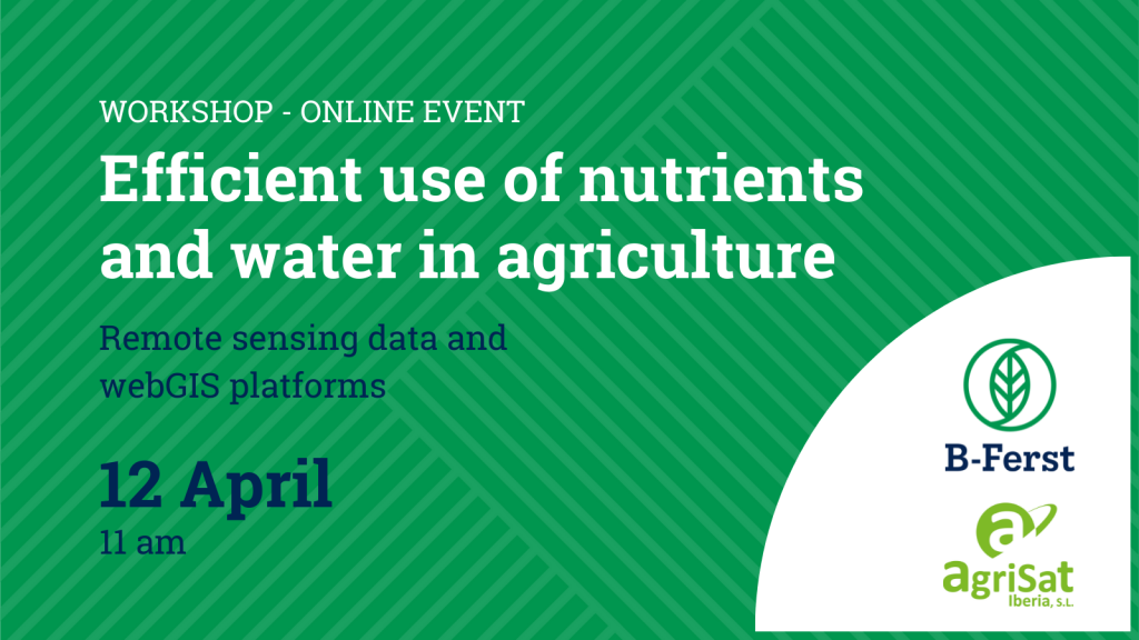
Remote sensing data and webGIS platforms
The emergence and rapid growth of new technologies are a constant. The specialisation in all the technological variants applicable in the agricultural sector is both impossible and complex for users to adopt.
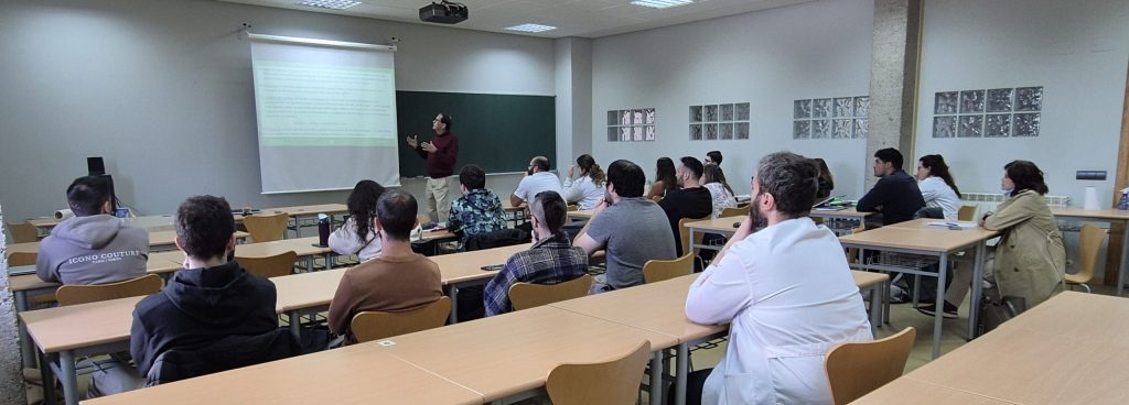
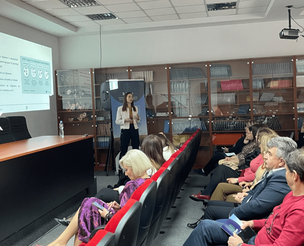
The training held by AgriSat introduces precision agriculture based on remote sensing and information technologies. The workshop would let farmers access new information – so far inaccessible – about their crops, and make more sustainable and profitable use of resources.
REGISTER to our training to learn more
Objective
To learn the technological innovations introduced in the agricultural sector to improve the effectiveness and efficiency of farming operations, enhance the economic yields of crops and minimise the impact on the environment of the treatments.
Reasons why you should attend
- Precision agriculture is within the reach of any farmer.
- The knowledge and tools to carry out precision farming are simple and useful, with little effort and investment.
- Decision making will be better the more it is based on objective data from spatial measurements. This will allow the resources to be adapted to the needs of each area of the plot, based on their productive potential, and at the right time to maximize their benefit.
Agenda
11.00
Time series of multispectral images for the agronomic management of crops, Vicente Bodas, AgriSat.
The presentation shows the technical basis and the multiple practical applications of the use of remote sensing and webGIS in crop management.
11.20
Agronomic applications of remote sensing
The presentation is divided into 3 parts to illustrates the practical application of remote sensing information in agricultural work related to the use of water and nutrients.
- Precise determination of water needs one week in advance, Andrés Cuesta, AgriSat
- Determination of intra-plot variability and its applications in precision agriculture, María Calera, AgriSat
- Monitoring and management of nitrogenous nutrition by remote sensing, Vicente Bodas, AgriSat
11.50
Practical application of remote sensing and webGIS in B-Ferst project, Andrés Cuesta, AgriSat
The presentation displays a practical application of remote sensing and webGIS related to field trials of new fertilizers in the framework of the B-Ferst project.
12.00
Q&A